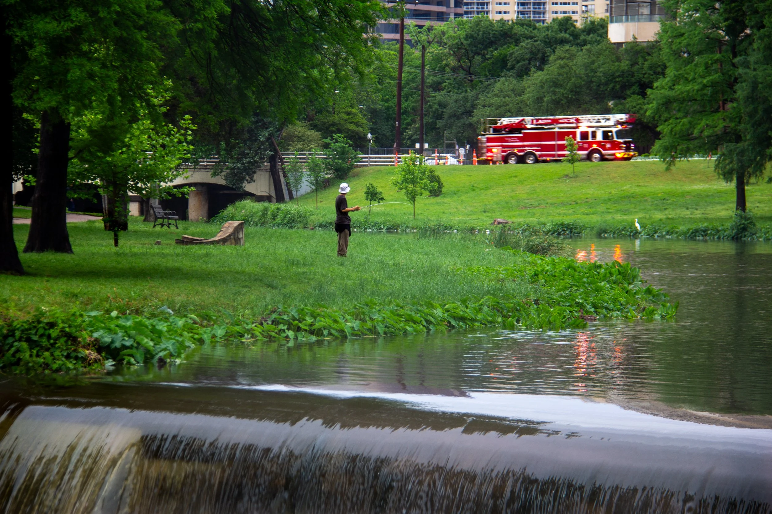
George Kessler’s 1911 A City Plan for Dallas was the first major urban planning effort in Dallas history. Aiming to address chaotic growth and flood control through public works which were not only practical, but also beautiful. A key focus was Turtle Creek, which Kessler proposed to preserve as a scenic parkway while also integrating it into a modern drainage system. To control flooding, channels and terraces were built along Turtle Creek’s natural contours, which were enhanced with stonework and landscaping that acted as both infrastructure and ornamentation.
These changes not only improved water management but also created a series of man-made waterfalls and cascades, blending function with beauty. The waterfalls became defining features of what is now Turtle Creek Park, turning a flood-prone ravine into a public amenity.
In addition to Turtle Creek, Kessler’s plan addressed the flooding and poor sanitation caused by Mill Creek. At the time an open, stagnant waterway in East Dallas. Like Turtle Creek, it was once envisioned as a scenic park with natural channels, but that vision was never realized.
Instead it evolved into what is now the Mill Creek Drainage Relief Tunnel, a massive underground stormwater management system. The tunnel protects thousands of homes and businesses, but its presence is hidden. No rippling water, no scenic trails, no waterfalls like those gracing Turtle Creek.
Though what might have been a public park is now a buried conduit, it eases the burden on Turtle Creek, helping preserve its scenic form. Together, they reflect the two sides of engineering infrastructure: one visible and celebrated, the other unseen but essential.